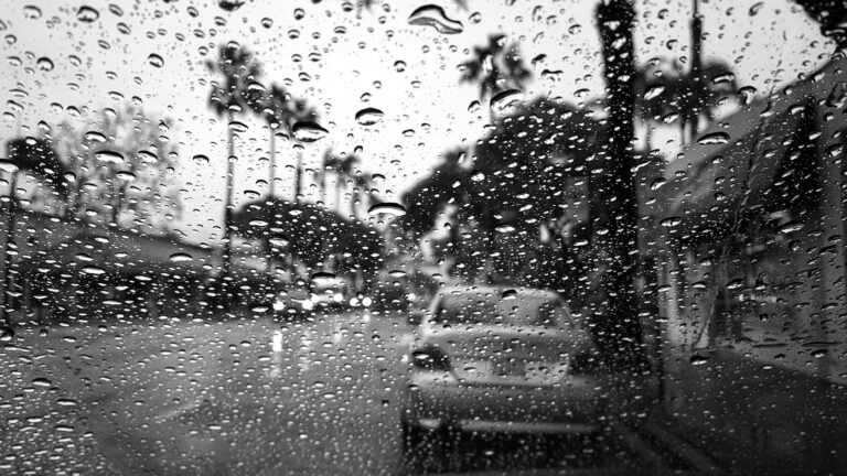


Houston is set to experience a significant shift in weather patterns this weekend, transitioning from a period of dry conditions to widespread rain showers and cooler temperatures.
Weekend Outlook: Rain Showers and Thunderstorms
Starting Friday evening, an upper-level low-pressure system will approach the Houston area, bringing increased cloud cover and a chance of rain. Saturday is expected to be mostly cloudy with a couple of showers and a heavy thunderstorm. These storms may produce flooding downpours and localized damaging wind gusts. High temperatures will be around 74°F (24°C), with lows near 69°F (20°C).
Sunday will see a slight improvement, with partly sunny skies and warmer temperatures reaching up to 83°F (28°C). However, there’s still a chance of isolated showers, especially in the afternoon.
Next Week: Arrival of Fall-Like Weather
A stronger cold front is anticipated to move through the Houston area early next week, bringing a significant drop in temperatures. By Tuesday, highs are expected to be in the mid-60s°F (around 18°C), with lows dipping into the 40s°F (around 8°C). This will mark the first substantial cool-down of the season, providing a true taste of fall weather.
Residents are advised to prepare for the cooler conditions by dressing in layers and staying informed about any weather advisories.