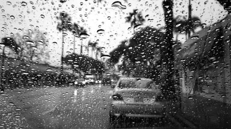


Southern Texas, including Houston, is slipping further into drought territory. Since late September, official records at Bush Intercontinental Airport show only trace rainfall with no measurable accumulation. August and September were also unusually dry, falling well below historic averages.
What’s Ahead: Scattered Showers and Higher Humidity
By week’s end, residents may see a few isolated showers. However, forecasts suggest these rains will be very light — generally one-tenth of an inch or less. In practical terms, that’s too little to make much difference for dry soils or drought relief.
Daily Forecast Snapshot
| Day | Conditions & Rain Chance | Notes |
|---|---|---|
| Wednesday | Mostly sunny, highs in upper 80s to ~90 °F | Humidity remains moderate; tonight’s low dips into the 60s |
| Thursday | Still sunny, slightly more humid | Highs in the upper 80s; overnight low climbs into low 70s |
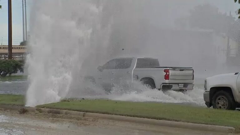
| Friday – Saturday | Hot and humid with ~40% chance of light showers | Warm “back-to-summer” feel returns; any rain will be brief and weak |
| Sunday | Front may bring drier air | Expect some relief in humidity; limited rain likely with front passage |
Why This Rainfall Won’t Be Enough
-
Volumes are minimal. Most areas will see only “hundredths to low tenths” of an inch. That’s not enough to replenish dry subsoil.
-
Spatial coverage is patchy. Some locales may miss out entirely, while others get a fleeting sprinkle.
-
Time lag matters. Even if we get more meaningful rain later, it will take a series of rain events — not just one — to pull the region out of drought.
What to Watch Going Forward
-
See if the front expected Sunday actually makes it through the area fully. If so, it could bring more organized showers.
-
Monitor soil moisture metrics and stream levels over the next week to see whether lightning rainfall has any impact.
-
Be cautious with outdoor and agricultural plans late Friday into Saturday — localized downpours could surprise in some areas.