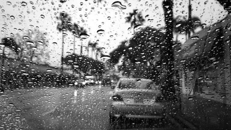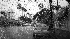


HOUSTON — November 5, 2025 — Meteorologists are tracking a developing storm system over the western Gulf of Mexico that could bring widespread rain and localized flooding to the Houston area by late Thursday and into the weekend. The National Weather Service warns that while the disturbance is unlikely to form into a tropical cyclone, its slow movement and moisture-rich air could trigger multiple rounds of heavy rainfall across southeast Texas.
Forecast Overview
Early models show the system drifting north toward the upper Gulf Coast, carrying warm, saturated air that will collide with cooler inland temperatures. Forecasters say Houston could see three to six inches of rain between Thursday and Saturday, with isolated totals higher in low-lying neighborhoods.
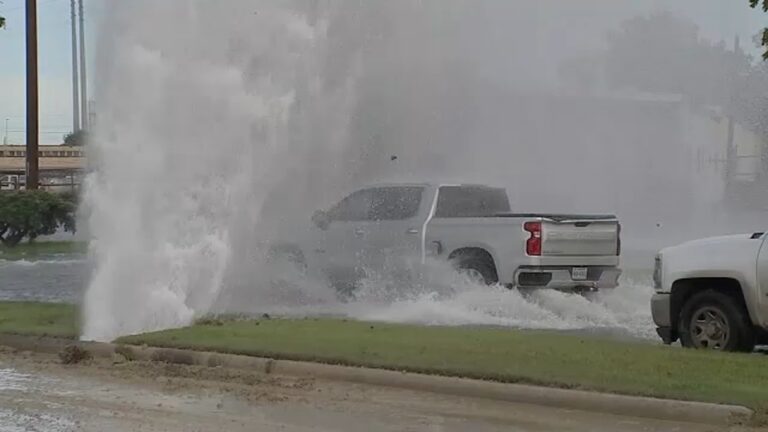
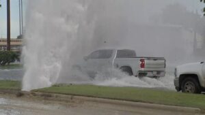
The heaviest rainfall is expected along the I-10 corridor and southern Harris County, including Pasadena, Pearland and Friendswood. Officials have already begun preparing crews for potential street flooding and drainage monitoring.
City Preparations Underway
Houston’s Office of Emergency Management issued a readiness alert on Wednesday morning, asking residents to clear storm drains and avoid parking along curbs where runoff collects. Public Works has activated its high-water response teams and distributed barricades to flood-prone intersections.
“Even a non-tropical system can dump days of rain when the Gulf stays this warm,” said meteorologist Kayla Moreno. “The key is preparation, not panic.”
Impact on Commuters and Events
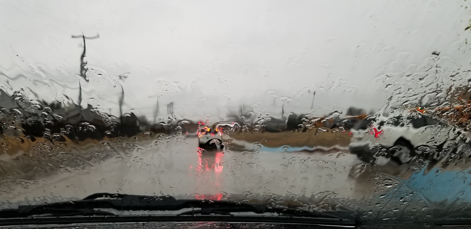
Drivers could face slower travel and temporary lane closures during downpours. City transit officials warn that Metro bus and light-rail routes may experience delays if high water covers key crossings. Organizers of several outdoor events — including weekend markets and high-school football games — are watching forecasts closely for potential postponements.
Flood-Prone Areas to Watch
Historically, flooding in Houston follows familiar patterns when Gulf systems linger:
-
South and Southeast Houston: neighborhoods near Sims Bayou and Brays Bayou often flood after prolonged rain.
-
West Houston: developments around Highway 6 and the Addicks Reservoir can experience flash flooding.
-
Downtown underpasses: particularly near Allen Parkway and Memorial Drive, tend to collect fast-rising water during high-intensity storms.
Power and Utility Readiness
CenterPoint Energy confirmed that crews and contractors are on standby to respond to any outages, especially in areas where saturated soil may weaken trees. Local grocery chains and hardware stores reported modest increases in demand for batteries, flashlights and sandbags Wednesday afternoon.
Broader Weather Pattern
Meteorologists link the upcoming rain to a broader late-season Gulf pattern marked by above-average sea-surface temperatures and a stalled cold front moving from the north. The collision of these two systems will sustain thunderstorm development well into the weekend. Cooler, drier air is expected to arrive by Monday, providing temporary relief before another potential front mid-next week.
Final Reflection
Houston’s weather this week serves as another reminder of the city’s delicate balance between bayou beauty and flood vulnerability. While no tropical storm warnings are in effect, the combination of saturated air, dense population and aging drainage means vigilance is essential. For Houstonians, preparation remains the most reliable umbrella.