

HOUSTON — November 14, 2025:
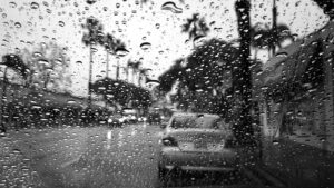
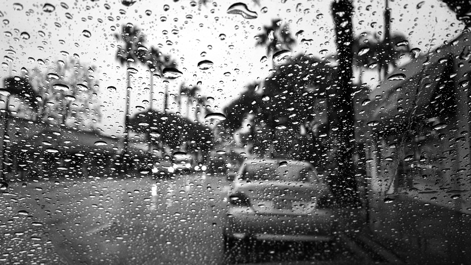
Houston is bracing for a volatile weekend as meteorologists warn that a fast-moving storm system could bring severe thunderstorms, sudden downpours, and localized flash flooding across the region. With saturated soil from recent rainfall and a strong cold front pushing through late Saturday, weather experts say the city could see significant disruptions — particularly for travelers heading through Bush Intercontinental and Hobby Airport.
The National Weather Service has already issued a precautionary advisory for heavy rainfall potential, noting that the exact timing of the strongest storms may shift as the system approaches the Gulf Coast.
Storms Expected to Build Quickly — and Hit Hard
Forecasters warn that the upcoming storm pattern has the potential to intensify rapidly as warm Gulf moisture collides with cooler, drier air moving southward. This clash could trigger:
• Intense rainfall in short bursts
• Frequent lightning
• Isolated hail
• Strong wind gusts
• Brief, low-visibility conditions on major roadways
Meteorologists say Houston may see two waves of storms: one arriving early Saturday afternoon and another, more forceful line pushing through overnight.
The second line is the one raising the most concern, as nighttime storms are harder to track visually and can catch drivers by surprise on freeways already prone to high-water spots.
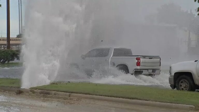
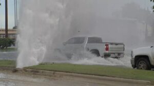
High Risk of Flash Flooding in Key Neighborhoods
Some areas remain especially vulnerable to sudden flooding, including:
• Meyerland and Bellaire — long-recognized flood-risk zones
• Parts of Spring Branch where drainage improvements are still in progress
• Low-lying areas of The Heights and Montrose
• Sections of Greenspoint and Aldine
• Eastern suburbs along the San Jacinto River
Even brief periods of intense rainfall can overwhelm drains already clogged with fall debris.
City public works teams say they are deploying crews to inspect storm drains in high-risk zones today and tomorrow morning, but warn that residents should expect ponding on roadways during peak storm windows.
Air Travel Expected to Be Impacted
Both Houston Bush Intercontinental Airport and Hobby Airport are likely to experience slowdowns, delays, and potential ground stops — especially if lightning accompanies the heaviest storm bands.
Ground crews cannot operate under certain lightning thresholds, meaning:
• Baggage handling pauses
• Fueling operations halt
• Aircraft cannot be marshalled
• Boarding and deplaning may be delayed
Airport officials say travelers should plan for longer wait times, follow flight updates closely, and expect gate changes or extended taxiing periods as storm cells move across the region.
Thanksgiving travel season is also nearing, and airlines are already preparing contingency plans to avoid cascading delays.
Drivers Urged to Stay Off Roads During Peak Storm Hours
Houston officials are encouraging residents to avoid major highways during the heaviest rains, emphasizing that quick bursts of water can turn some corridors into dangerous no-go zones.
Among the roads that typically flood fastest:
• Southwest Freeway (59) inbound near Shepherd
• I-45 North near downtown entry ramps
• Allen Parkway underpasses
• Memorial Drive low points
• Hardy Toll Road access roads
• Beltway 8 eastbound frontage lanes
Emergency responders repeatedly warn drivers of the same rule each year:
“Turn around, don’t drown.”
Even shallow water can sweep a car off the road or stall an engine, creating life-threatening situations.
Cold Front to Follow — With a Sharp Temperature Drop
Once the storms push through, Sunday is expected to bring dramatically cooler air, with temperatures dropping by as much as 15–20 degrees. Gusty north winds are expected to linger throughout the morning, giving the city its first real taste of late autumn.
Residents can expect crisp conditions for early next week — a welcome break from the recent humidity, but a reminder that Houston’s seasonal pattern is entering its more turbulent phase.
How Houston Residents Can Prepare
Officials recommend several steps to stay safe over the next 48 hours:
• Clean debris from neighborhood storm drains
• Charge phones and backup power packs
• Avoid parking vehicles on flood-prone streets
• Secure patio furniture and loose outdoor items
• Check flashlights and emergency kits
• Allow extra travel time or adjust weekend plans
Residents in known flood zones are also encouraged to monitor weather alerts closely and sign up for citywide emergency notifications.
A Weekend to Watch Closely
While Houston has endured far worse weather systems, the timing, intensity, and rapid development of this storm setup could create dangerous conditions with little warning.
One meteorologist put it simply:
“This is one of those weekends where you keep your phone charged and your eyes on the radar.”